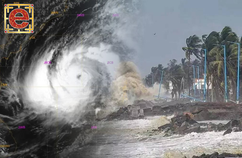
As Cyclone Mocha has been intensified into an extremely severe cyclonic storm over east central Bay of Bengal, Bangladesh and Myanmar have warned hundreds of thousands of people to evacuate. According to India Meteorological Department (IMD), the system was 570 km north-northwest of Port Blair and 730 km south-southwest of Cox’s Bazar at 11:30 pm IST on Friday.
Advertisement
Advertisement
Cyclone Mocha is predicted to landfall in the two neighbouring countries, Bangladesh and Myanmar, on Sunday noon. During the landfall the wind speeds could be as high as 175 kilometers per hour. It is also expected to cut across an area in Bangladesh, home to the world’s largest refugee camp, which contains about a million Rohingyas, according to a Bloomberg report.
IMD said in its bulletin on Saturday that the cyclone would reach its peak intensity around Saturday evening, and the system is very likely to move north-northeastwards, cross southeast Bangladesh and north Myanmar coasts around Sunday noon with a maximum sustained wind speed of 150-160 km per hour.
The very severe cyclonic storm moved nearly northeastwards with a speed of 8 km per hour during the past six hours and lay centered at 5.30am over Central Bay of Bengal near latitude 15.4°N and longitude 89.1°E, the IMD wrote in its weather update.
Meanwhile, The World Meteorological Organization, a United Nations agency, has warned of heavy rain, flooding and landslides potentially affecting “hundreds of thousands of the world’s most vulnerable people” and six million people in need of humanitarian assistance in Myanmar’s Rakhine state.
Rohingya refugees are being evacuated from “risky areas” by thousands of volunteers in Bangladesh as the most powerful cyclone in nearly two decades hurtles towards the country and Myanmar.
Advertisement


